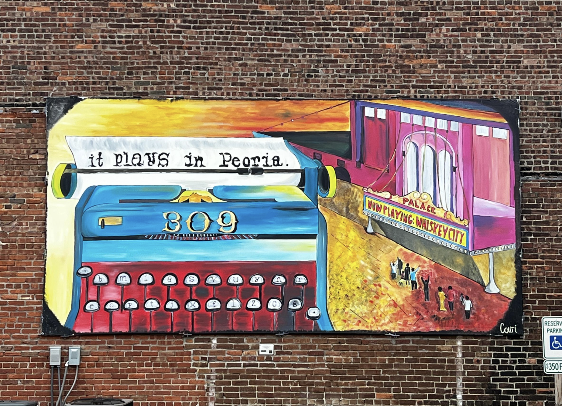
Late last year, we gave you a preview of how Art Plays in Greater Peoria, and today, we are excited to share with you the interactive art mural map we teased in that blog.
Greater Peoria has a rich history and vibrant arts community, and now residents and visitors alike can easily explore its colorful public art with the launch of an interactive art mural map. The map, developed by Big Picture Peoria, the Greater Peoria Economic Development Council, and the Tri-County Regional Planning Commission, features over 60 public murals in the Tri-County region of Peoria, Tazewell, and Woodford.
The idea for the map was born from a mural bike ride, where Dan Newcomb, GIS Manager for TWM, Inc., and Lenora Fisher, our Business Attraction Director, brainstormed ways to make the mural tour accessible to everyone all year round. They approached Doug and Eileen Leunig, founders of Big Picture Peoria, who had already mapped mural locations for a Google map. Together, they transformed the map into an interactive story map.
The interactive mural map is easy to use and allows users to locate public art in Central Illinois. As new murals are added to the region, artists and residents are encouraged to send their information to Eileen Leunig at dande@bigpicturepeoria.org for inclusion on the map.
The Greater Peoria Mural Map is a wonderful way to showcase the talented artists in the community and to celebrate the vibrance of public art in the region. It also supports the mission of the Tri-County Regional Planning Commission, which is to develop strategies that enhance the region’s communities.
In conclusion, if you’re looking for a fun and unique way to explore Greater Peoria, be sure to check out the interactive art mural map. With over 60 murals to discover, there’s sure to be something for everyone to appreciate. So, get out there, start exploring, and don’t forget to share your findings with others.
